|
Width: 400 Height: 400 Extent:
YMin: 1.3721240668799354E7 XMax: 2257876.613484216 YMax: 1.381978233546602E7 Spatial Reference: 102740 (2278) LatestVCSWkid(0) Scale: 283799.99999999825 |
| ArcGIS REST Services Directory | Login |
| Home > services > PublicFolder > FloodHazardAreas (MapServer) > export | Help | API Reference |
|
|
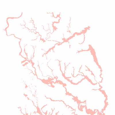
Width: 400 Height: 400 Extent:
YMin: 1.3721240668799354E7 XMax: 2257876.613484216 YMax: 1.381978233546602E7 Spatial Reference: 102740 (2278) LatestVCSWkid(0) Scale: 283799.99999999825 |