|
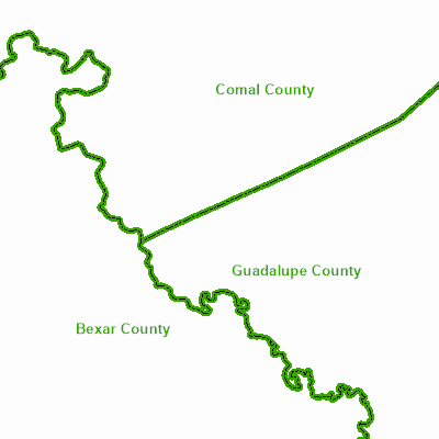
Width: 400 Height: 400 Extent:
YMin: 1.3710989193477469E7 XMax: 2267720.3634842164 YMax: 1.3829218360144136E7 Spatial Reference: 102740 (2278) LatestVCSWkid(0) Scale: 340500.0000000009 |
| ArcGIS REST Services Directory | Login |
| Home > services > PublicFolder > Counties (MapServer) > export | Help | API Reference |
|
|
Width: 400 Height: 400 Extent:
YMin: 1.3710989193477469E7 XMax: 2267720.3634842164 YMax: 1.3829218360144136E7 Spatial Reference: 102740 (2278) LatestVCSWkid(0) Scale: 340500.0000000009 |